
DJI drones for forestry
Forest inventory, early fire detection, finding diseased trees and illegal logging. Each task has its own combination of drone and payload.
- Maps and tree inventory: Matrice 4E or Matrice 400 with Zenmuse P1 capture the area, and DJI Terra builds an orthomosaic and a 3D model.
- Terrain and tree data: the Zenmuse L3 LiDAR builds terrain and canopy height models used to calculate the parameters of every tree.
- Fires: the Zenmuse H30T thermal camera locates the fire.
- Patrols: Dock 3 / Dock 4 flies scheduled routes without sending a pilot.
Forestry: challenges and trends
Forests cover about 4.06 billion hectares, or 31% of the land, and more than half of them are concentrated in five countries. Managing such areas is hard. Inventory is still done on sample plots: specialists climb mountains, cross rivers and measure trees by hand. This takes a long time, and the data depends on who took the measurements.
The climate adds risks. Hot, dry days are becoming more frequent, and fires are still caused by lightning and human activity. A fire destroys resources and pollutes the air. In 2023 the Copernicus Atmosphere Monitoring Service (CAMS) recorded record fire activity in many regions. Deep in the forest it is hard to spot a fire early: fixed cameras have a limited view, and helicopters and surveillance cameras cannot deliver a detailed picture quickly. Illegal logging, pests and storm damage also have to be dealt with.
DJI: solutions for forestry
DJI offers drone solutions in three areas.
- Forest resource management: orthomosaics, 3D models and point clouds for inventory, tree counting, timber volume calculation and road planning.
- Forest protection: early fire detection, finding disease outbreaks, wildlife monitoring.
- Automated patrols: repeated flights over key areas, map annotations and records of violations, including illegal logging.
Forestry work in practice
Photogrammetry shows the forest from above at centimetre resolution and solves specific tasks:
- Seedling counts: an AI portal counts seedlings, builds a density map and shows where additional planting is needed. Capturing 10 ha takes about 16 minutes (GSD under 1 cm, 75% overlap).
- Pre-commercial thinning: capturing 10 ha in 10 minutes (GSD 1–2 cm, 85% overlap) shows where competing vegetation is holding back valuable species.
- Storm damage: fallen trees are dangerous for people, so it is easier to survey the area safely with a drone. 100 ha in 25 minutes (GSD 3–6 cm, 70% overlap) provides data for a harvesting plan that prevents rot and disease.
- Diseased and dead trees: they need to be found as early as possible, especially as bark beetle outbreaks grow quickly. Capturing 10 ha takes about 10 minutes (GSD 2–3 cm, 85% overlap).
- Machinery ruts: the drone measures the area, length and depth of damage after harvesting. 100 ha in 25 minutes (GSD 3–4 cm, 75% overlap).
The Zenmuse L3 LiDAR builds a digital elevation model (DEM), a canopy height model and slope cross-sections. LiDAR processing software automatically segments each tree and builds a database: ID, coordinates, height, crown area and volume. Harvest preparation accounts for up to 80% of total costs, so accurate maps and road planning save money directly.
Fire protection and nature conservation
A drone reaches a fire faster than a helicopter. The Zenmuse H30T thermal camera (1280×1024 resolution) shows exactly where the fire is and helps estimate where it will spread. The sensor measures temperatures up to 1600 °C. The operator can switch colour palettes to find the hotspot faster.
FlightHub 2 sends live video, panoramas and annotations straight to the command centre. Markers placed on the remote controller, a mobile device or a computer update for all participants. For regular patrols, simply create a route and launch the mission; when a fire is detected, switch the camera to thermal and mark it on the map.
Automated patrols with DJI Dock 3 / Dock 4
The Dock 3 / Dock 4 station works without an operator: the drone takes off in 10 seconds, the operating radius is up to 10 km (Dock 3), and the operating temperature range is −30 to +50 °C. Charging from 15% to 95% takes 27 minutes, so several flights in a row are possible. For mountains and dense forest, 4G connectivity keeps a stable signal and RTK where regular links drop out.
The drone flies set routes on schedule, and the operator can take control at any time, approach a suspicious spot and zoom in. Comparing maps from different dates reveals logging, construction and other changes. A Dock 3 / Dock 4 kit, DJI Terra and FlightHub 2 are enough for analysis. The platform also meets data security requirements (ISO 27001 and ISO 27701), and FlightHub 2 can be installed on your own servers.
Example: in Huangshan (China), a nature reserve uses Dock 3 / Dock 4 for regular flights along several routes. Data goes straight to the cloud, the duty officer spots suspicious trees, and the coordinates are passed to a patrol for an on-site check.
Why forests need drones
- Time savings: work that takes a whole day is done in under an hour.
- Safety: the drone surveys steep slopes and storm debris instead of people.
- Environmental benefits: fewer emissions and less disturbance to wildlife than helicopter surveys.
- Detail: resolution is higher than satellite imagery, so trees are easy to distinguish from other vegetation.
Recommended equipment
Core kit for forestry agencies, forest inventory teams and forest protection services. We will help you choose a configuration for your tasks.
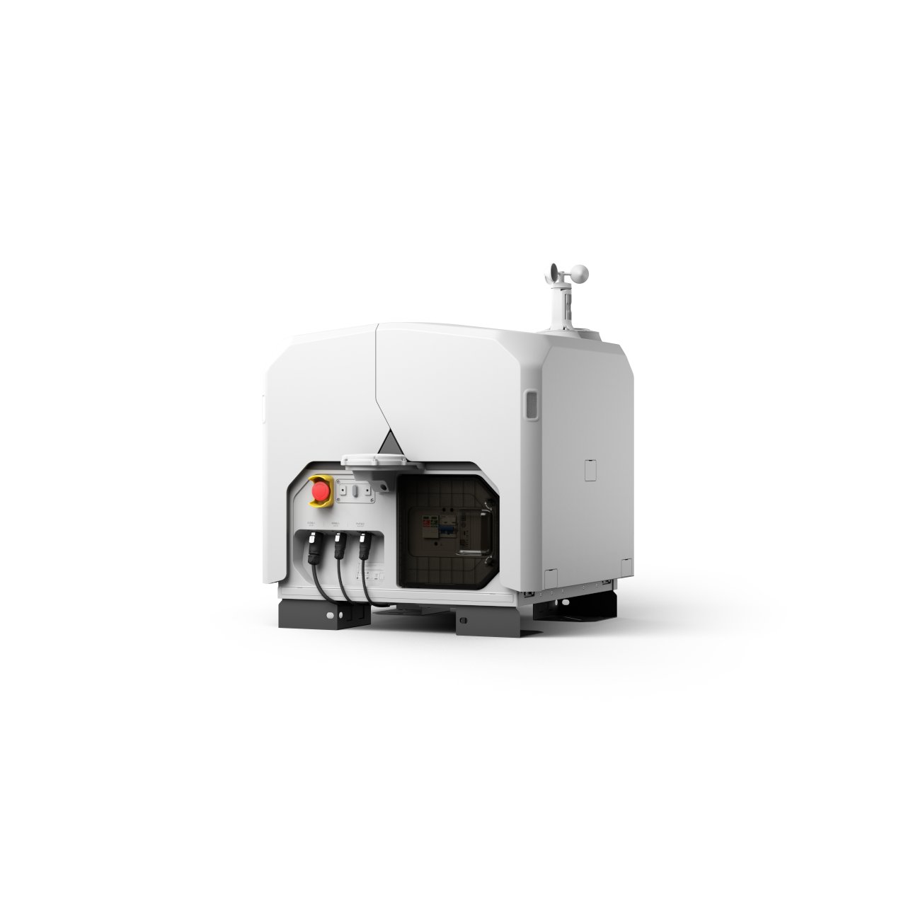 DJI Dock 3Scheduled automated patrols of forest areas with the Matrice 4D/4TD drone. Works with DJI Terra and FlightHub 2.Learn more →
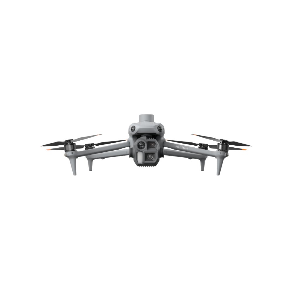 DJI Matrice 4EFast mapping of plots for inventory: up to 2.8 km² per flight.Learn more →
 DJI Zenmuse L3LiDAR for terrain and canopy height models: the point cloud gives the height, crown area and volume of every tree.Learn more →
 DJI Matrice 400Platform for large projects: up to 59 minutes of flight, carries Zenmuse H30T, P1 and L3.Learn more →
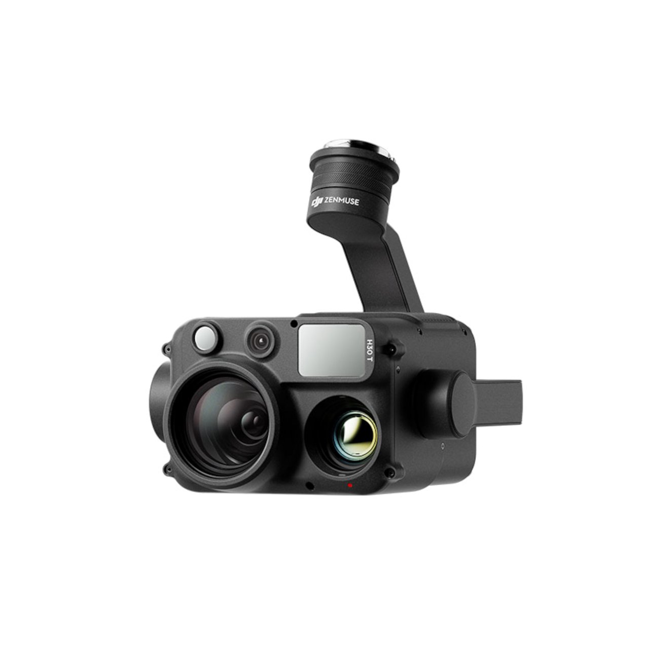 DJI Zenmuse H30TZoom, 1280×1024 thermal camera and laser rangefinder for firefighting and locating hotspots.Learn more →
 DJI TerraMission planning, orthomosaics, 3D models and point clouds.Learn more →
Equipment selection for forestry
Describe the area and the task, and an X-FLY engineer will select the right kit and send you a commercial offer within one business day.
DJI solution for forestry
Technology, equipment and deployment examples on the official DJI Enterprise website.